Advanced Aeronautical Cartography
Join us at Aviakm and take the first step towards a rewarding career in Aeronautical Information Services, where precision, safety, and efficiency are paramount
Advanced Aeronautical Cartography
Course Objectives
- To have a general review regarding the main principles of cartography.
- Understand the main concepts of the modern air navigation satellite systems such as “GNSS, GPS, CNS/ATM, RNAV, RNP, and PBN”.
- Understand the main concepts and methods of survey that relate to the production of aeronautical ICAO charts.
- To be familiar with all digital data sources that used in the charts productions such as Digital Elevation Model “DEM” data and able to build the data base needed to produce the Aeronautical Charts
- Be familiar with Types of Datum, Projections, and Scales.
- Able to inspect the navigational charts of service provider deliverables.
- Familiar with all digital data sources that are used in the charts productions like SRTM data.
- Able to build the database needed to produce Aeronautical Charts.
- Understand the main concepts of air traffic control separations and procedures.
- Read the topographic maps and extract the data from it like natural obstacles and the aerodrome General geographical features needed for ICAO area chart production.
- Understand the components of the aeronautical charts production database.
- Understand the local AIP aeronautical chats.
- Able to maintain the quality assurance for the aerodrome survey files and also able to extract the needed data for charting.
- Produce all types of local AIP charts using automation software (Local software or UATS software)
- Able to make the quality control procedures for the Aeronautical Charts that will be published in the AIP and also the necessary amendments in the amendment cycle
- Able to update or amend the local AIP charts periodically
Course Content
-
Module 1:
- • Coordinate systems
- • Projections and scales
- • Directions
- • The difference between MAPS & CHARTS
- • Cartographic techniques
- • Introduction to Aeronautical Charts
- • Air Navigation Procedures
- • The concept of satellite systems
- • Introduction to GNSS
- • Introduction to CNS/ATM
- • RNAV
- • RNP
- • PBN
- • Flight Management System
- • Free Flight
-
Module 2:
- • Survey file format
- • Survey areas (OLS - eTOD)
- • Survey Data Management and accuracy
- • Survey data quality control
- • Aeronautical data sources
- • Data extraction
- • Digital Elevation Model “DEM” data for A. Charts
-
Module 3:
- • Cartographic Techniques and Aeronautical Charts
- • Map Preparation
- • The Procedures Design
- • Operation Requirements for Charts.
- • The Required Aeronautical Data.
- • Classification of Symbols.
- • Name of Features.
- • Lettering
- • Units of Measurements.
- • Charting Procedure/Design Steps.
- • Aeronautical Data.
- • Automation
-
Module 4:
- • AIP aeronautical charts
- • En-route Chart - ICAO.
- • Area Chart - ICAO.
- • Aerodrome Chart - ICAO.
- • Aerodrome Obstacle Chart Type A - ICAO.
- o The take-off flight path area.
- • Instrument Approach Chart - ICAO;
- o Instrument Approach Segments.
- o Holding.
- o Types of Instrument Approach.
- • ATC Surveillance Minimum Altitude Chart - ICAO.
- • Standard Departure Chart - Instrument (SID) - ICAO.
- • Standard Arrival Chart - Instrument (STAR) - ICAO.
- o Specifications of SIDs and STARs.
- • Aerodrome Grid Chart.
- • Aerodrome Terrain and Obstacle Chart (Electronic) - ICAO.
- • eTOD Chart - ICAO.
-
Module 5:
- Practical Project
Course Duration
Theoretical/Practical Lectures
Who Should Enroll:
AIS Officers, ATC Officers, and All people related to AIS field
Prerequisite
The participant should have Basic Aeronautical Cartography course 022 ICAO; or Have experience of not less than 10 years in the field of Aeronautical Cartography
Training Strategy
- Lectures.
- Class Discussions.
- Role Playing.
- Case study.
- Demonstration.
- Audio/Video.
- Group work.
Training Aids
- White Board and Markers
- PC or Laptop with internet connection
- Data show and Laser pointer
- PowerPoint Presentation and CD
Materials
- Trainee Manual, and Trainer Handout.
Join Us Now & Get Free Training
Enroll today and receive complimentary training to kickstart your aviation career with top-notch education and resources.
Other Courses ===
Discover Our Courses
Discover our extensive selection of aviation programs, crafted to equip you with the skills and knowledge needed for success in the aviation industry.
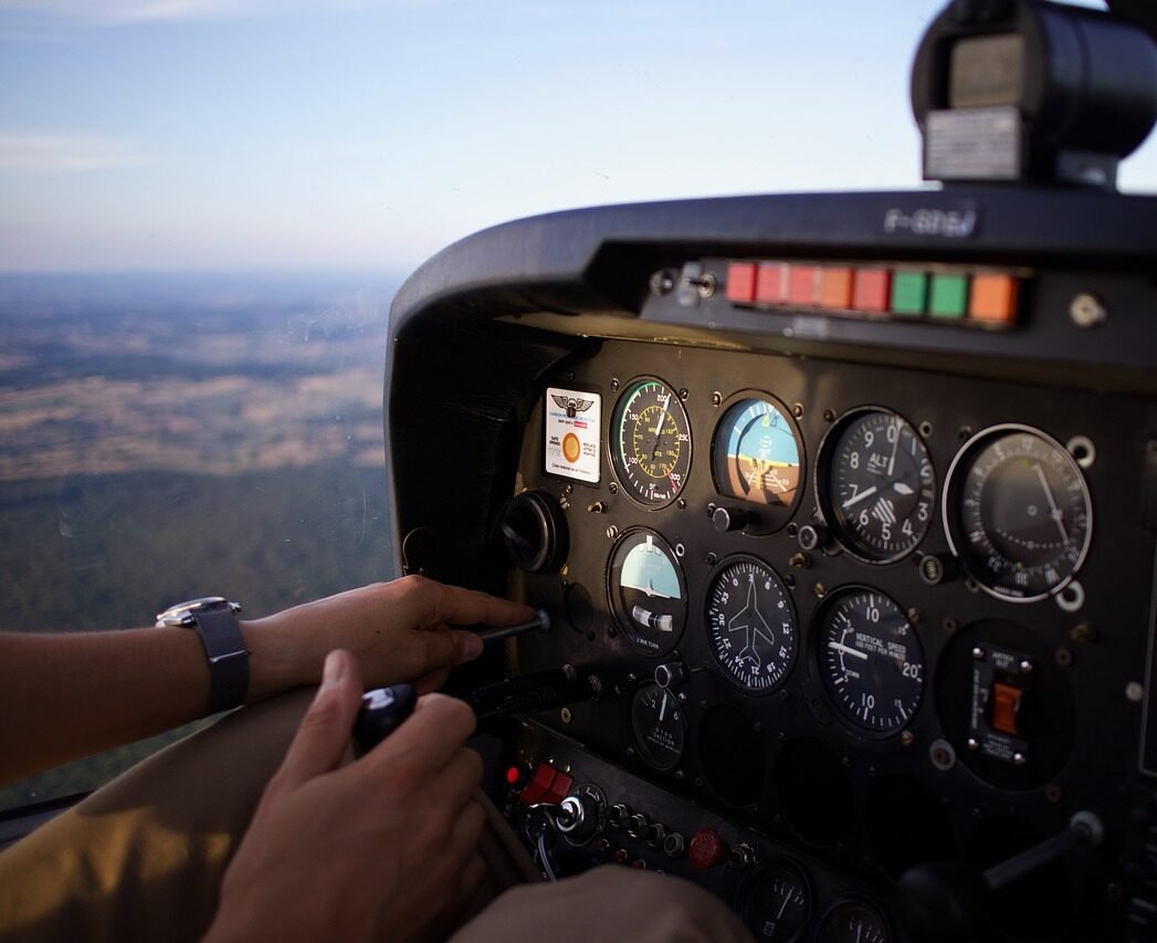
Air Traffic Services
Advance your skills and knowledge with our tailored courses for aspiring and current professionals

Airport Management
Develop the leadership and operational skills required to manage modern airports.

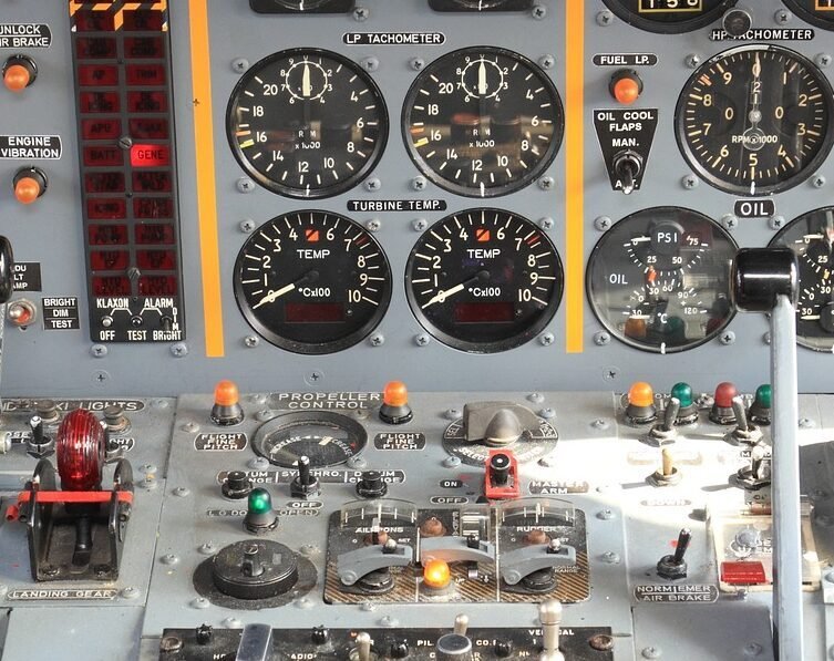
Aviation Security
Master the critical aspects of protecting airports and aircraft with our Aviation Security courses

Aeronautical Information Services
Gain expertise in managing and disseminating essential aeronautical information.

Aeronautical Information Services
Gain expertise in managing and disseminating essential aeronautical information.
