Geo-Design Pans-Ops
Automated Instrument Flight Procedure design using ICAO criteria Doc. 8168.
Software Description
Geo-Design Pans-Ops is developed according to ICAO criteria and it’s a status symbol in the world of aviation. This software was created to support the IFP designers to ensure easy calculations, design and draw all the relevant surfaces of procedures segments that secure the flight phases during approach, landing, and departure.

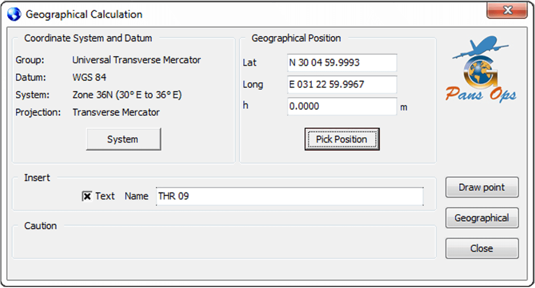
The software is developed with the capabilities that control accurate data and coordinates systems that ICAO recommends to be used in aviation as WGS-84 datum besides the UTM coordinate system. Although the data entrance in this software is done by users but the software is secured enough to assure that data should be interred properly according to criteria while user will get a message in case he use improper data which is not compatible within the designing stage.
AutoCAD platform was chosen to be the base line for this Geo-Design Pans-Ops software, as the AutoCAD is standard and known everywhere for its great capabilities in drawing, accuracy, data base, excel sheets, and coordinate systems that are compatible with its worldwide platform.

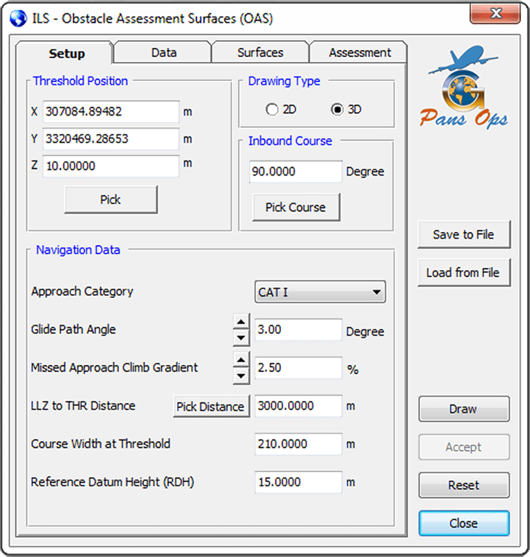
The software is divided into modules that create the standards designs according to Doc. 8168, it designs the conventional (Precision, Non-Precision), RNAV procedures types (BVNAV, RNP, etc.) and Holding patterns. Also, it produces the PAR (Precision approach radar) procedures that is still used in many countries around the world.
Our team is updating this software periodically according to Doc. 8168 and user recommendations to facilitate and increase its reliability, although user interface is designed to be very smart and helpful, it takes the user step by step with help button till the final design stages and generates the calculation parameters beside each part of the design to give the chance to review and confirm that design goes the way user is intended to.
Software Operation Requirements
1 – PC / Laptop.
2 – Windows 7, Windows 8 and Windows 10 (32 bit / 64 bit).
3 – Working as administrator.
4 – AutoCAD 2010-2021
